Wednesday Night Routes
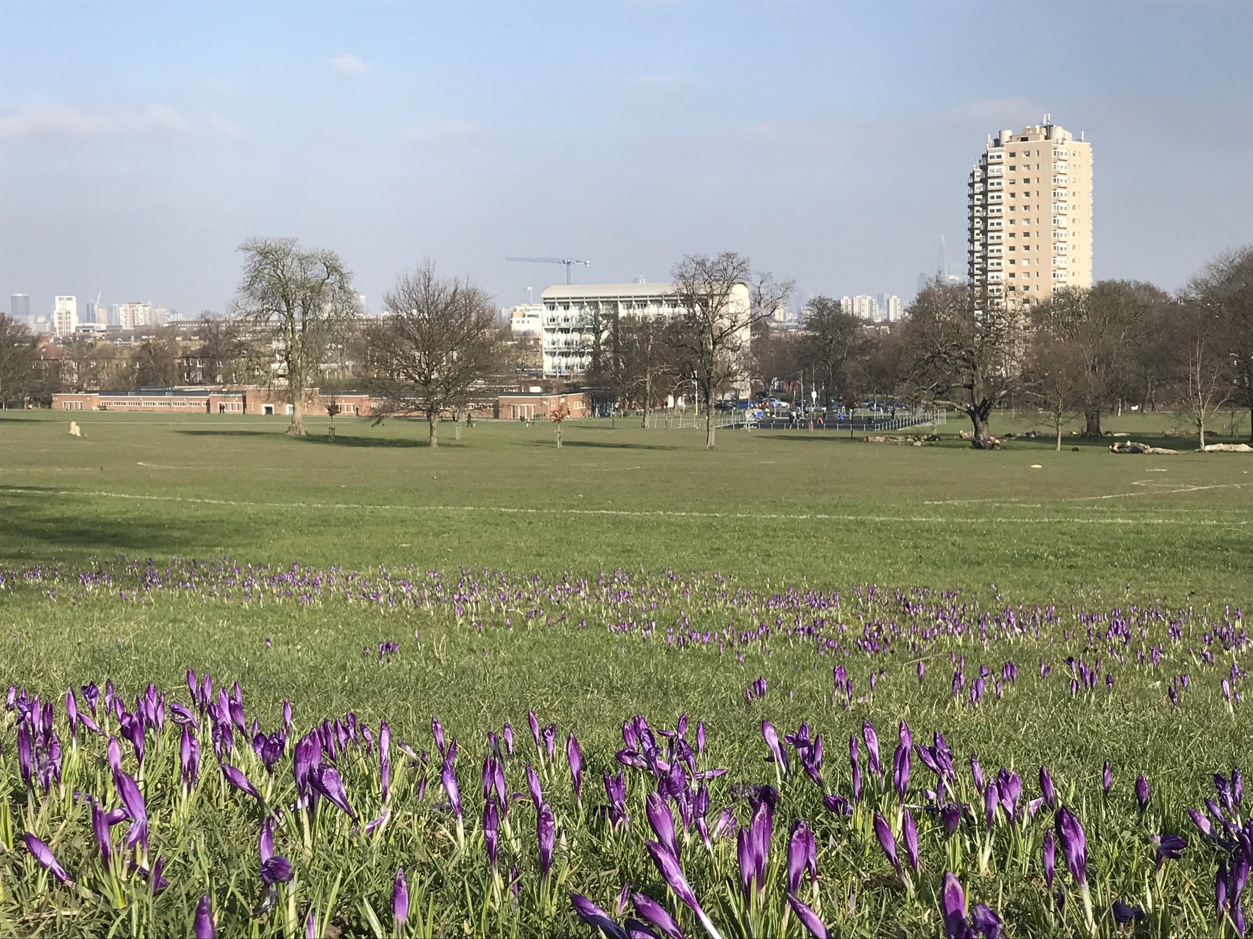
We have a rolling selection of winter, spring and summer routes to cater for all run lengths from around 5 km (3.2 miles) to 16 km (10 miles). We have 4 available 5 km routes which stay the same through the season and 3 longer routes which change each week, but runners can always add in laps of one of the parks to up the mileage as required.
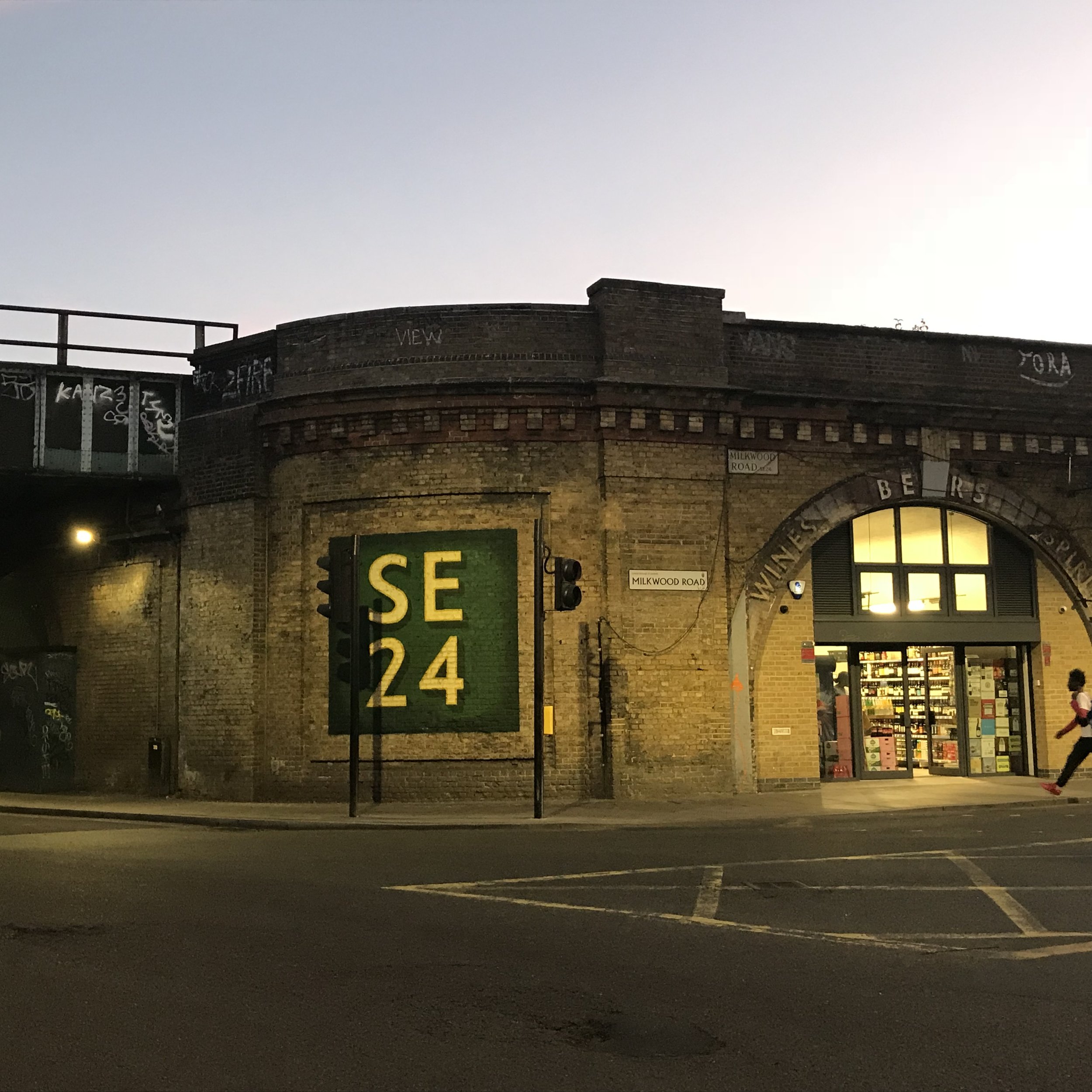
Following the introduction of the Ultra Low Emission Zone in October 2021 we have taken the opportunity to revisit our routes and remove where possible sections of route alongside the A205 South Circular Road.
Please click on the route numbers below to find descriptions and Strava links. You do not need to be a member of Strava to access these.
Winter Routes
1 2 3 4 5 6 7 8 9 10 11 12 13 14
Spring / Late Summer Routes
Summer Routes in 2024
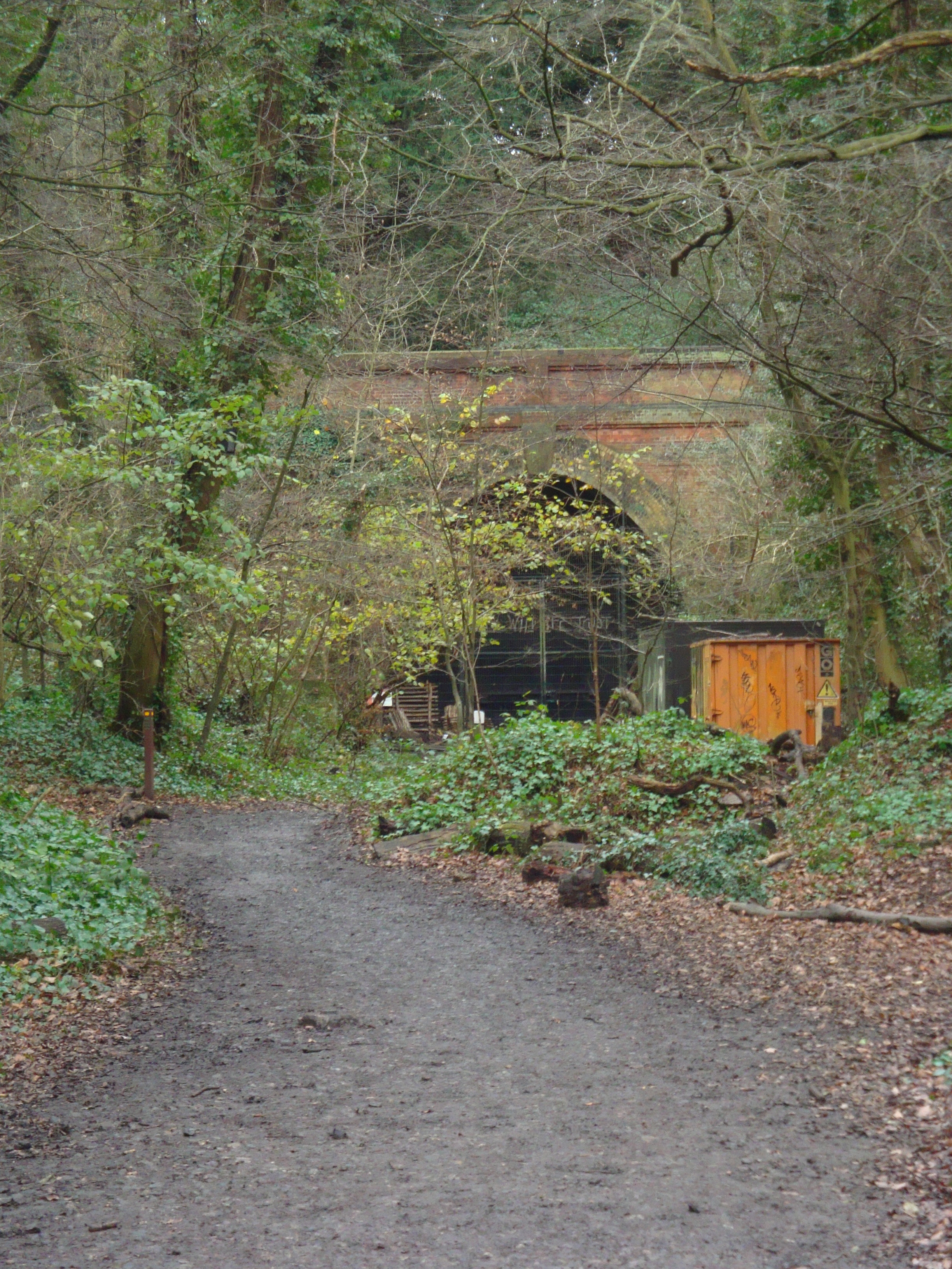
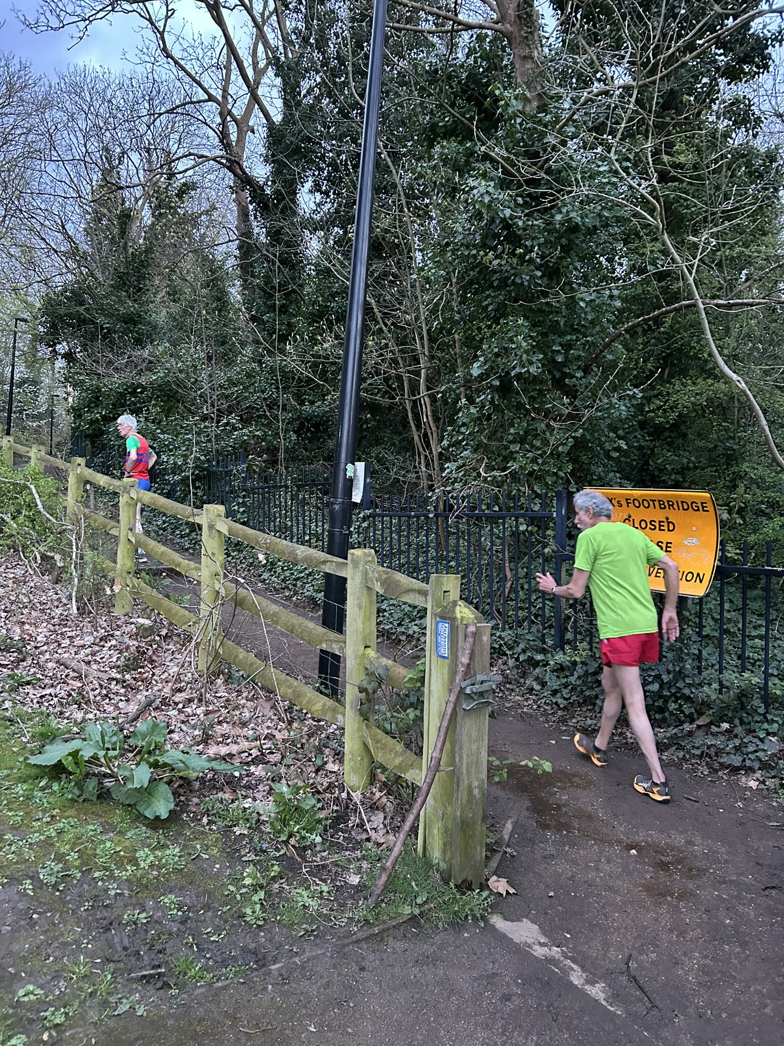
As some of you may know Cox's Walk is closed until at least October 2024 between the A205 South Circular and the old railway footbridge (made famous by Camille Pissaro in his painting in the Courtauld gallery). This is to enable Southwark Council to renew the bridge which in recent years has become unsafe. Work is currently suspended because of the bird nesting season but the path is still closed because of safety reasons.
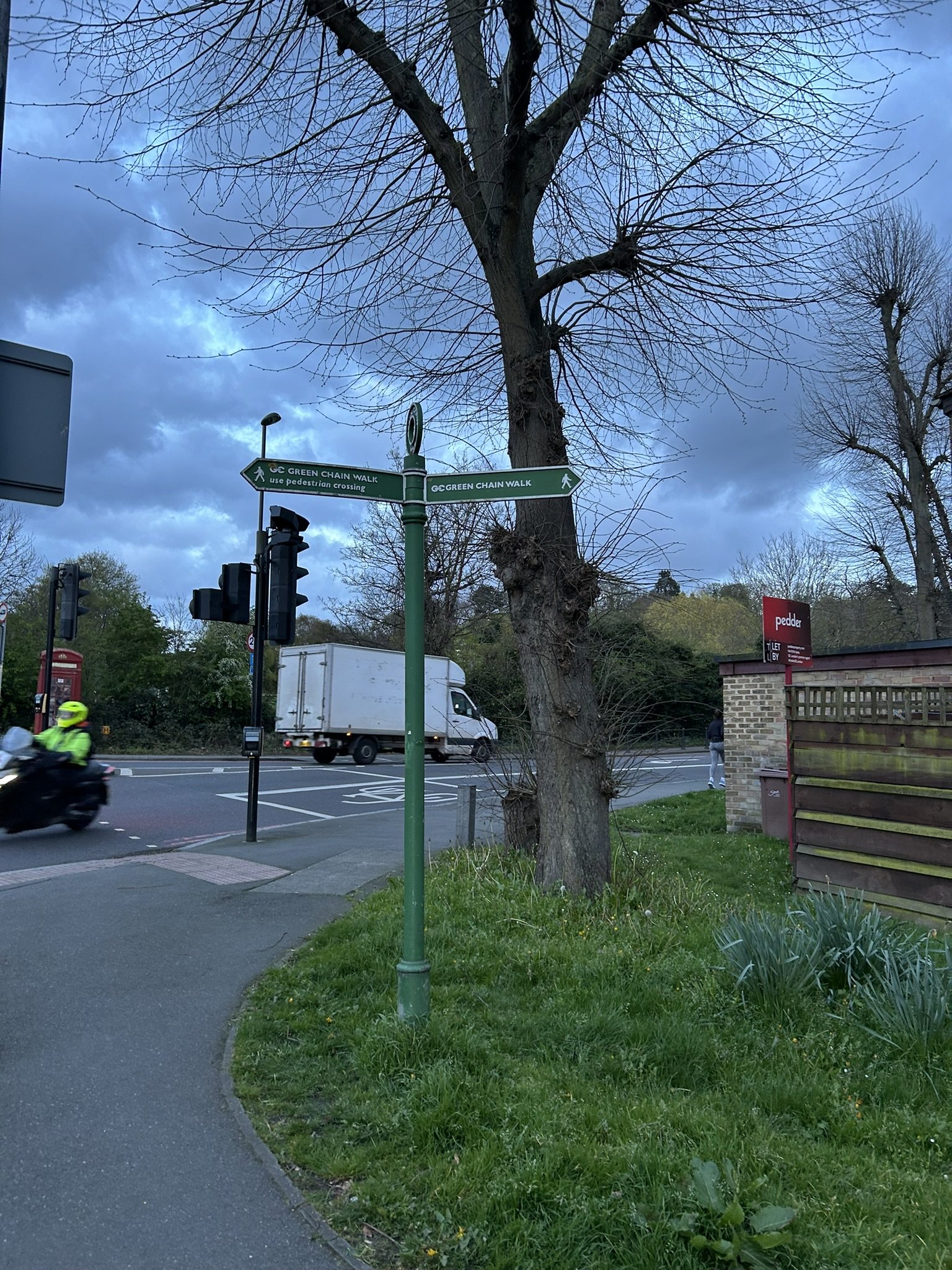
As a result we have modified Summer Maps 1 to 7 this year to still allow you to enjoy the woods through a different entrance. We have included some photos of the key entrances / turning points below, with photos 1 to 6 from top left to bottom right below.
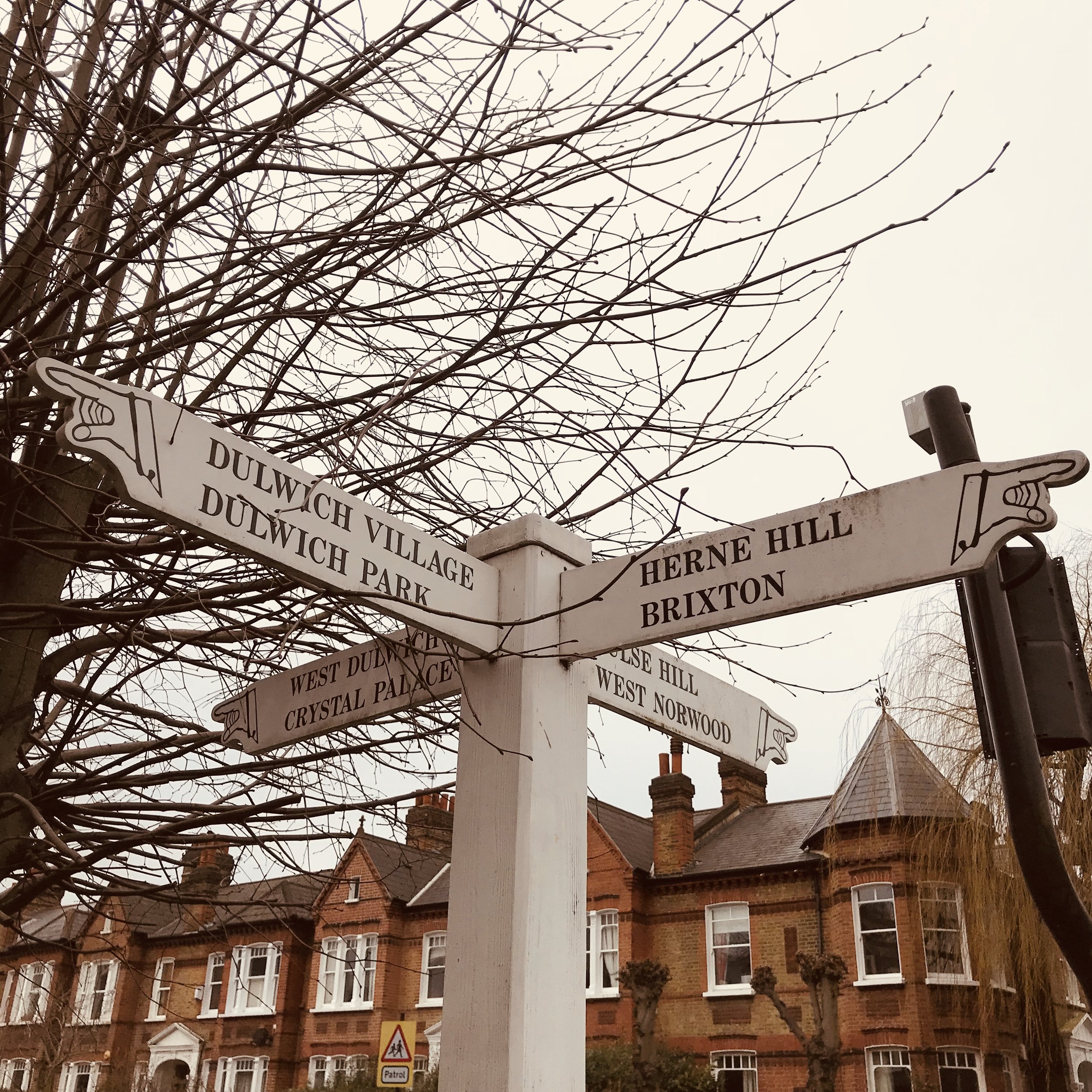
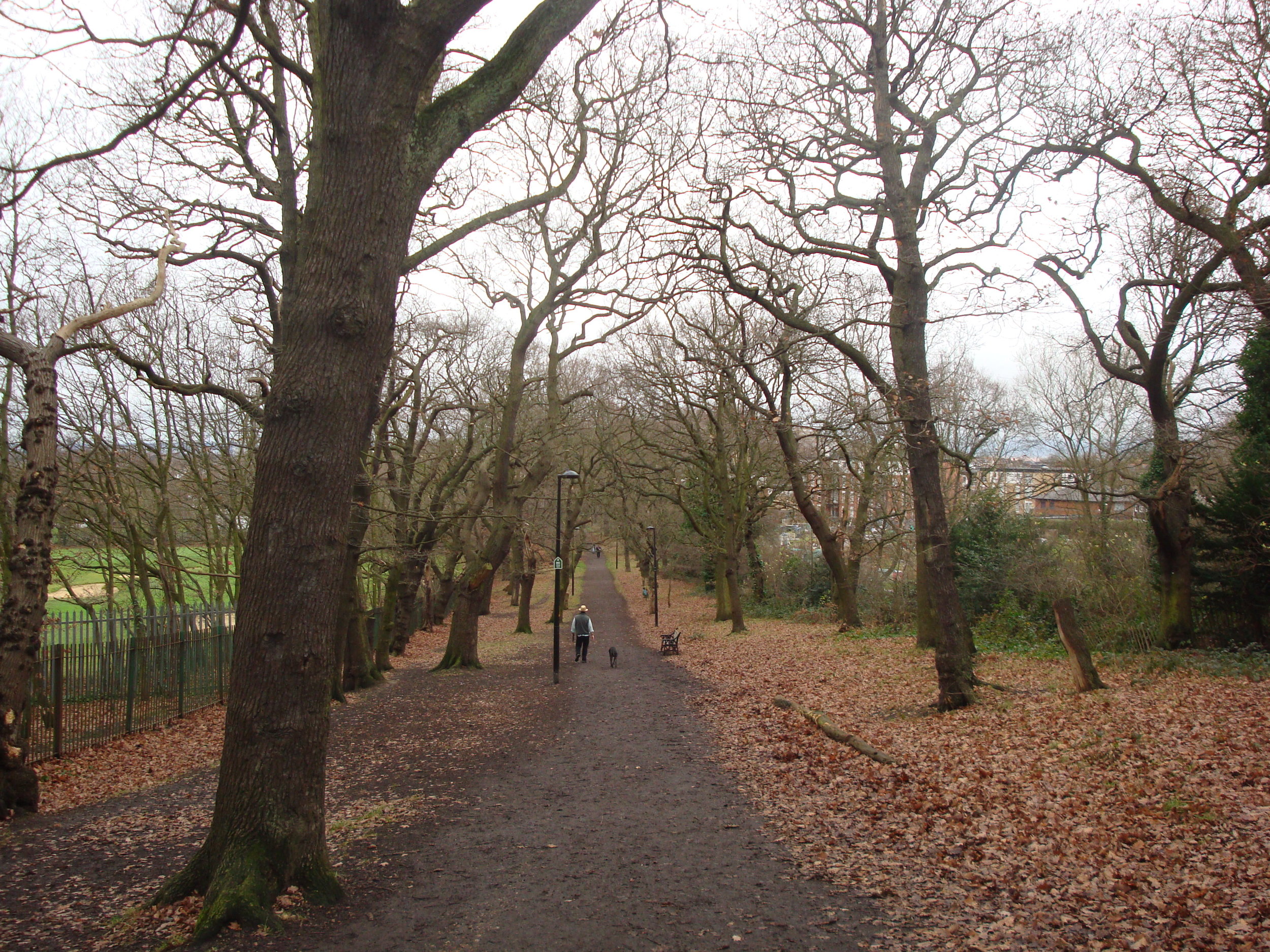
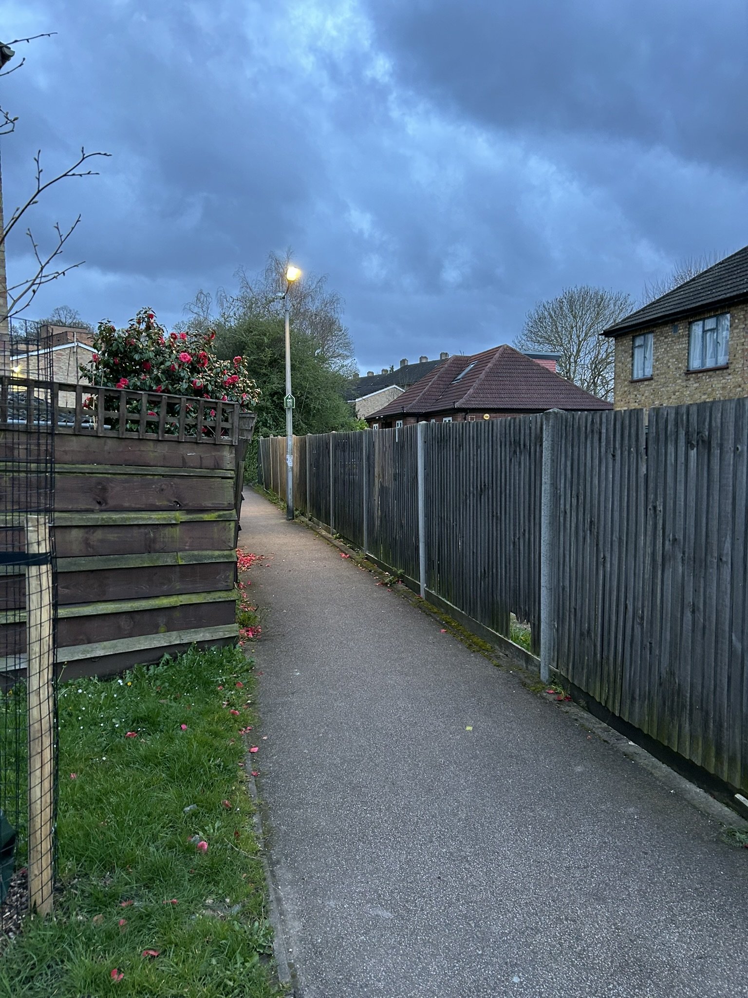
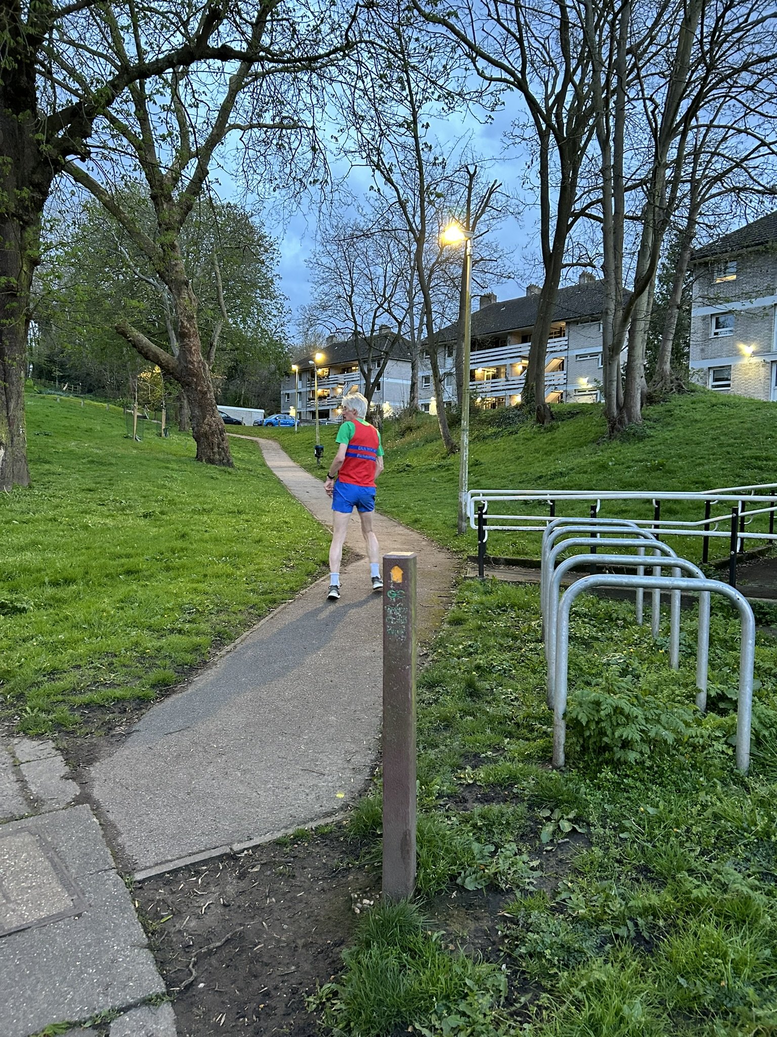
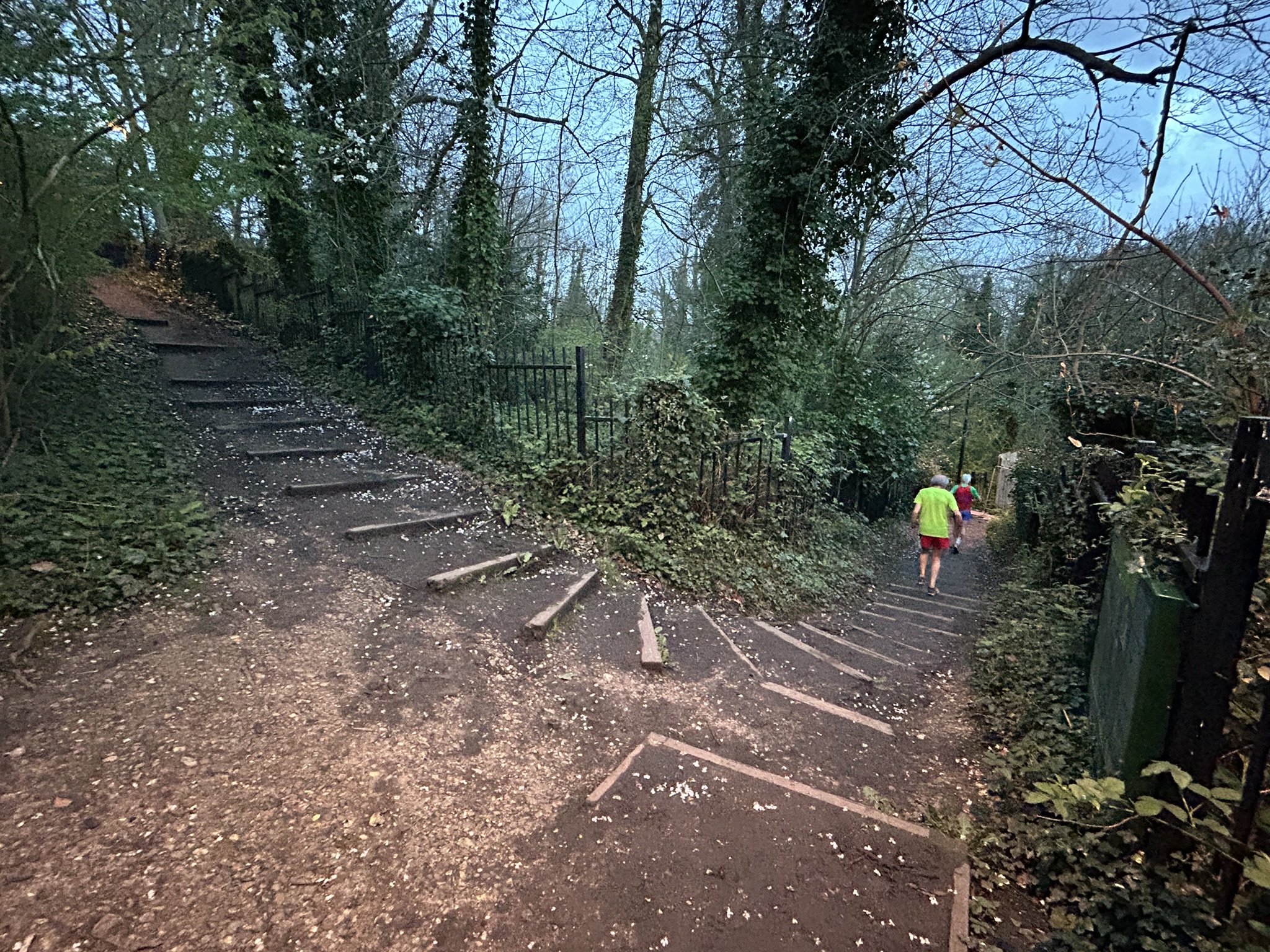
All runs using the woods from the Dulwich/Forest Hill direction will use the green chain path from the junction of the A205 and Sydenham Hill (see picture 1 and 2), near the Horniman Musuem. This takes you through the housing estate (known as Lapse Wood Walk) on the site of the former Lordship Lane station. There is a clear path through the estate with green chain signposts from this road junction. There are some steps but it is mainly a good uphill path with lights (see picture 3) even when the tarmac becomes a dirt path (see picture 4). When you reach the fork junction with Cox's Walk (east) (see picture 5) all runs take the right hand fork down a few steps, taking you past the closed footbridge and then on to a nicely relaid footpath through the woods.
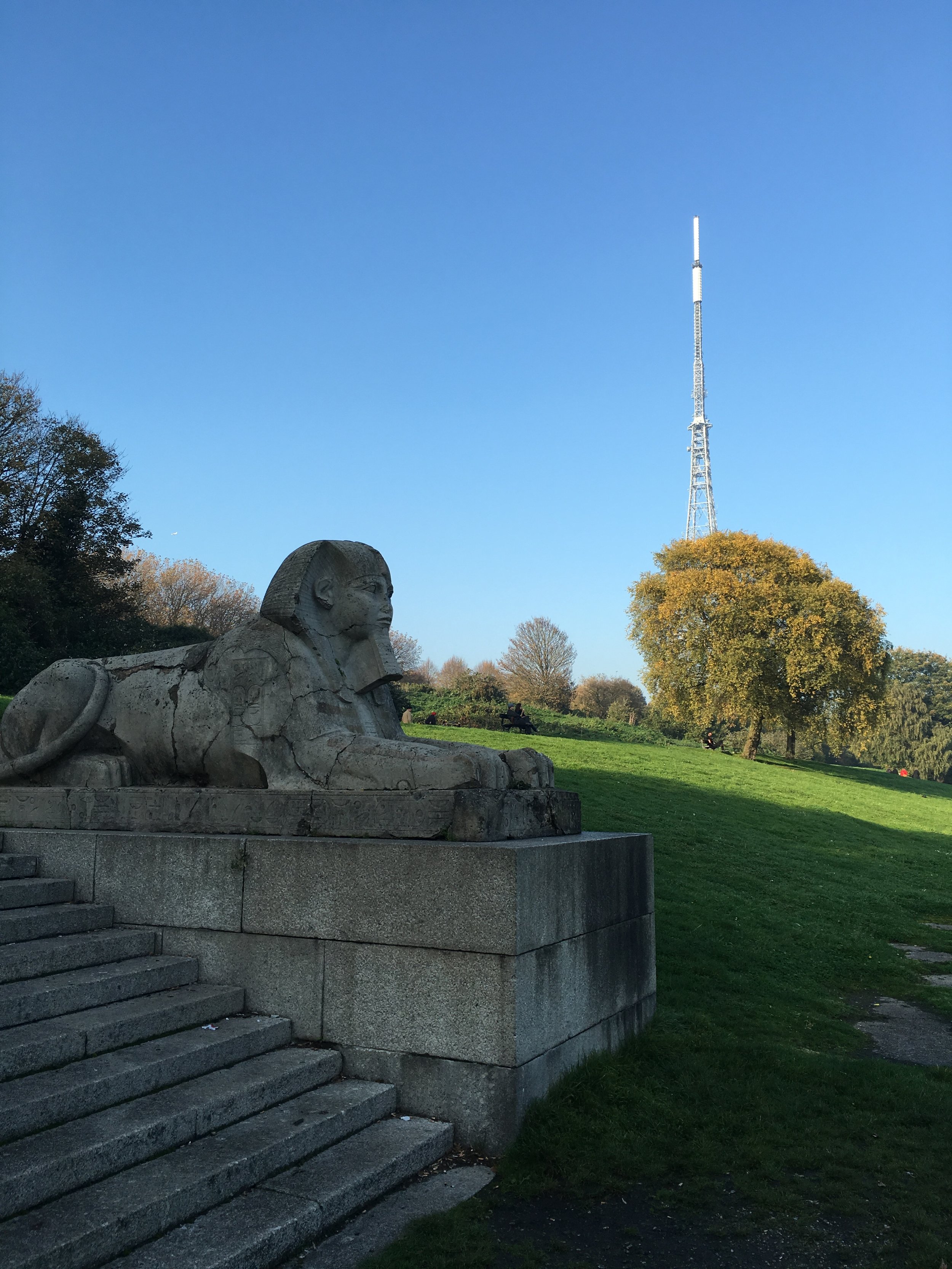
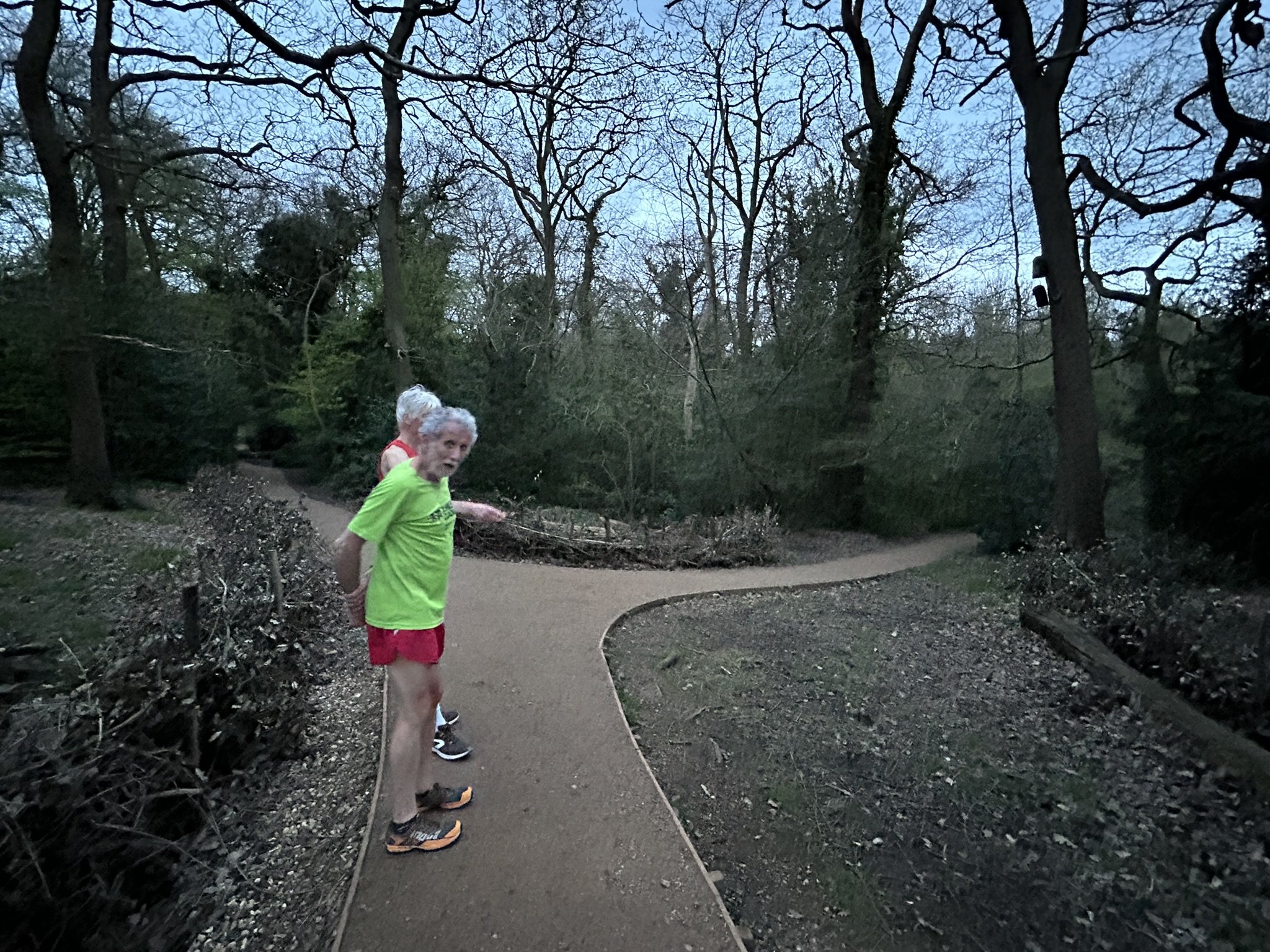
As you run along this path you will see a couple of different forks. Summer Maps 1, 2, 5 and 6 keep left to take you up to Crescent Wood Road where you exit the woods. Maps 3 and 4 require you to take a right hand fork at the 'long log' (see photo 6) where you take the path to the old railway line and then over the top of the old tunnel mouth where you exit on to Crescent Wood Road. Map 7 as it involves a downhill run from Upper Sydenham doesn't enter the woods over this stretch given the various steps.
5 km Routes
Available here for both Winter and Summer
Other Routes
During 2020 we also created a walking / running tour of some of the Dulwich Outdoor Gallery, which you can find here.
![IMG_7774[1].JPG](https://images.squarespace-cdn.com/content/v1/5a427faa8c56a85fe95229f9/1532265863067-1JGNZWG9LSCM3X8HQPM2/IMG_7774%5B1%5D.JPG)